In the 1950s, Lengiprotrans conducted a major expedition to select the direction of the railway line in the Ob-Irtysh basin. The road was supposed to facilitate the development of forests in the North of Western Siberia.
To select the direction of the route, aerial photography at a scale of 1: 30,000 was widely used. On-site office photogrammetric processing of images, production of contact prints and reproductions was carried out. Topographic work on the binding of aerial photography was carried out by 4 survey parties.
Upper-air works are represented by engineering-geological survey at a scale of 1: 250,000, performed using:
• field office geotechnical interpretation of aerial photography materials;
• aerovisual observations from a height of 300 m in hard-to-reach areas using aerial photographs at a scale of 1: 30,000 and reproductions of block mounting at a scale of 1: 100,000.
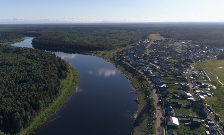
The conditions of the Far North and the prevailing swampy terrain significantly complicated field work. There were no roads in the area, communication was carried out only by waterways. Rare settlements were located along the banks of large rivers, 30-50 km from each other. The members of the expedition lacked vehicles, equipment and food.
As a result of a technical and economic comparison of 6 options, the direction Polunochnoye - Nyaksimvol - Narykary was recommended for construction. The line was supposed to cross the Severnaya Sosva River at 195, 235, 347 and 400 km, and at the terminal station of Narykara to go to the Ob River, slightly south of the town of Berezovo. However, the project was never implemented.
Author's department:
Project Status:


